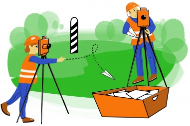
Harmonized geodetic reference system
We aim at developing and introducing a harmonized geodetic system in Estonia and Latvia with a common methodology for data gathering. Comparable geodetic data is essential for the implementation of various activities in the border area, e.g. in updating electronic databases in the field of agriculture, border management, energy, etc.
A significant contribution to the regional development of the Estonia-Latvia border area will be possible as the coherent geodetic data and models help to increase synergy between different across-border projects including attractive business environment, natural environment services, and protection, etc. The major contribution will be made to better management of the common coastal area and more improved services and activities that are related to using harmonized geodetic reference systems to reinforce better governance in border areas.
The pre-defined project GeoRefAct was selected for funding by the monitoring committee on 8 January 2021 through direct award procedure. Here is more information about priority 2 direct award procedure.
As the output of the pre-defined project, the programme expects a harmonized geodetic reference system.
Examples of expected activities:
- High precision geodetic measurements based on the latest achievements of the global positioning satellite systems, determination of point heights with high-precision leveling, and gravity values with relative gravity meters;
- Verification, adjustment, and analysis of measurements in the common coordinate, height, and gravity systems;
- Calculation of height and coordinate transformation models between different national systems, field evaluation and testing of the models;
- Implementation of high accuracy height and coordinate transformation models into the easy-to-use web application.
Main features of the pre-defined project:
- All types of organizations and enterprises can apply;
- Co-financing from the programme can be up to 85% of the total eligible costs for all types of partners.
Specific requirement
At least the following core organizations are involved in the partnership of the pre-defined project:
- Estonian Land Board,
- Latvian Geospatial Information Agency.

